The West Sutherland District
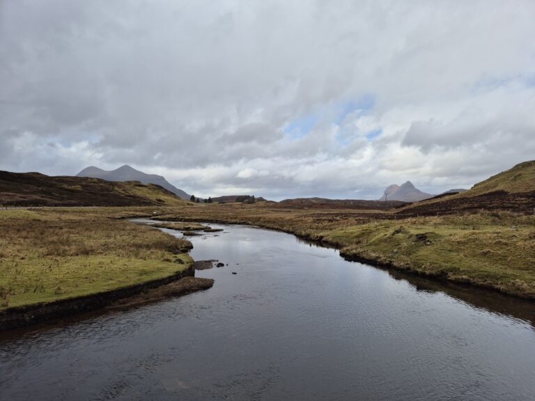
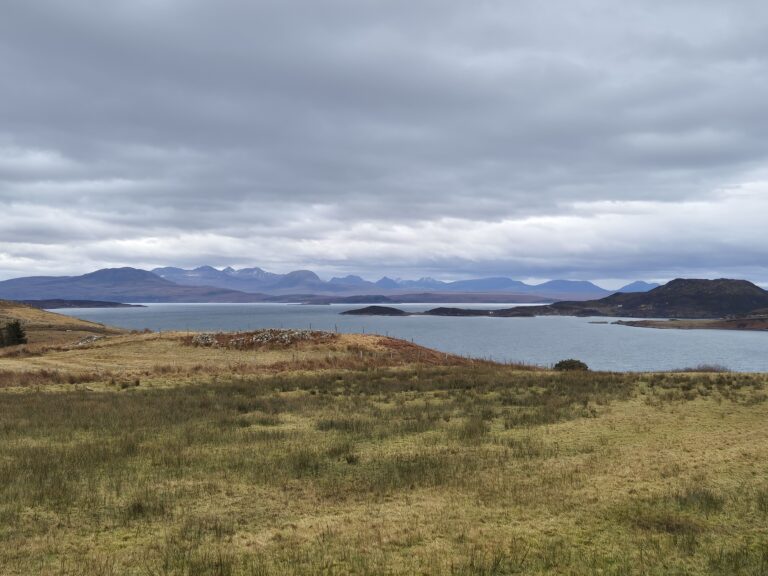
The West Sutherland fisheries district is located in the Scottish Highlands, in the north west of mainland Scotland. This remote, isolated and scenic area is the most northerly in the project.
The district extends from the River Hope in the north to Achiltibuie in the south and covers all rivers flowing west, altogether encompassing the catchments for over 150 rivers of varying sizes. The larger catchments include the Garvie, Polly, Inver, Laxford, Polla and Hope. There are also many lochs and coastal burns. Altogether the district drains an area of approximately 1794 km² (693 square miles).
Major land uses within the area include rough grazing and deer stalking, with heather moorland dominating the vegetation. There are approximately 2000 crofts and 1046 km² of common grazing. Tree cover is sparse but there are small areas of conifer woodland and, more recently, there have been numerous native plantations established. Main settlements include Durness, Scourie, Lochinver and Achiltibuie.
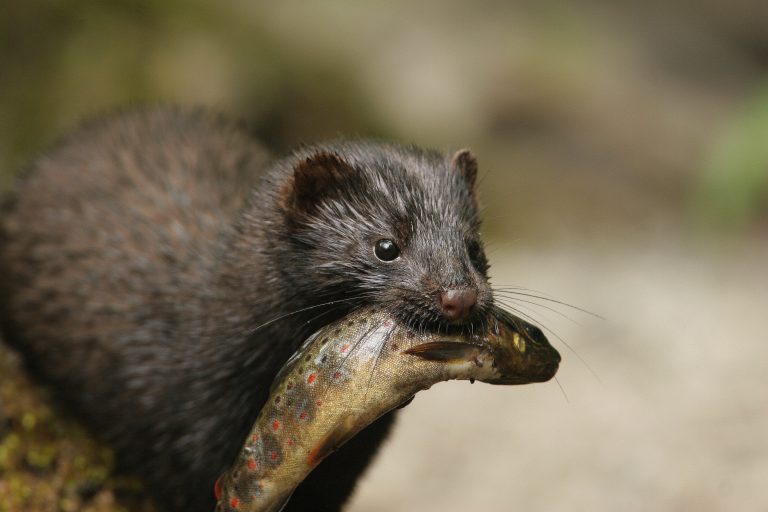
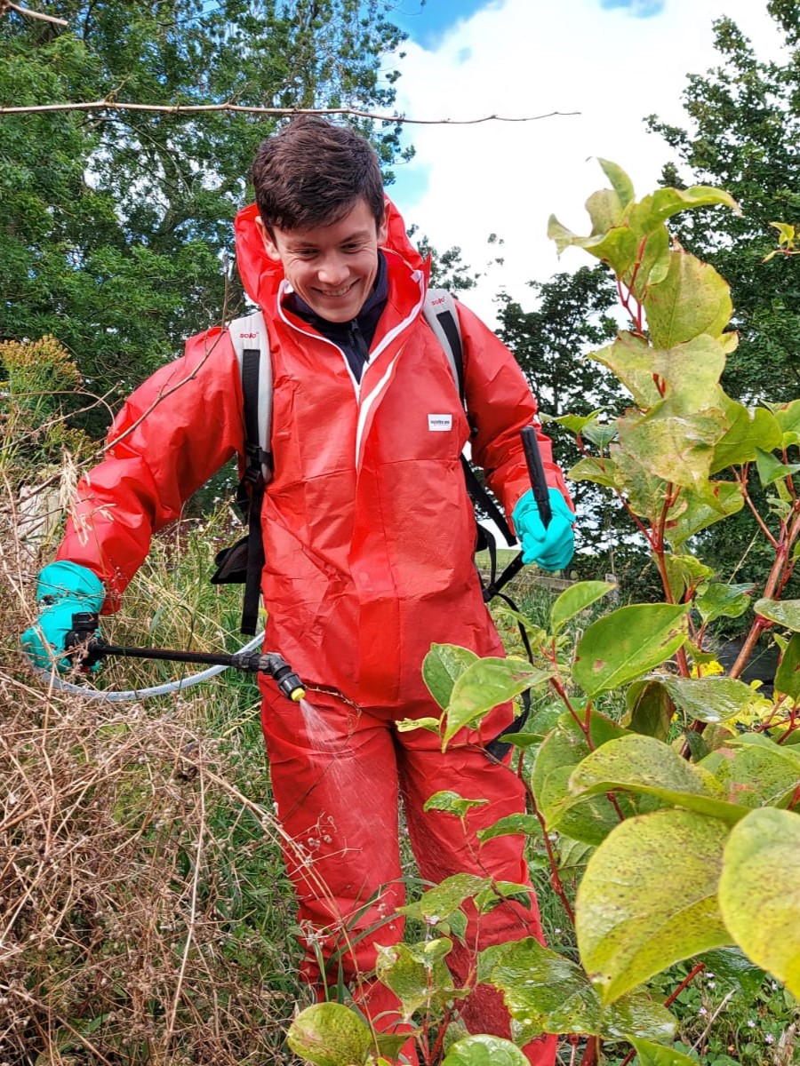
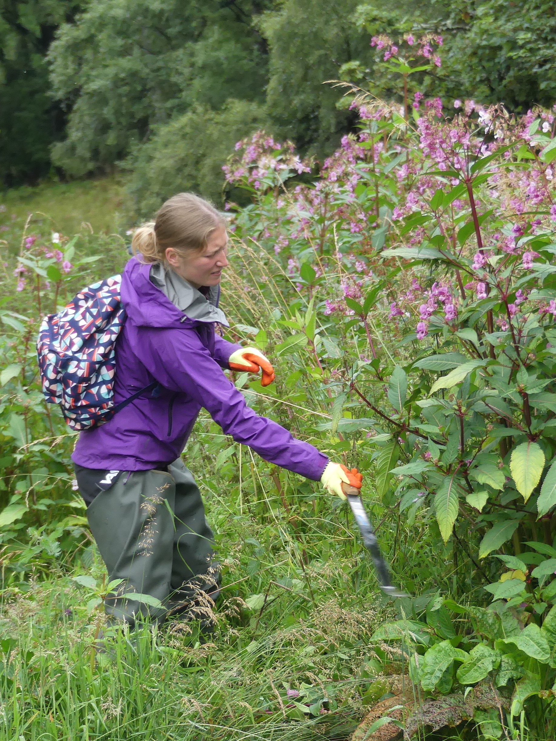
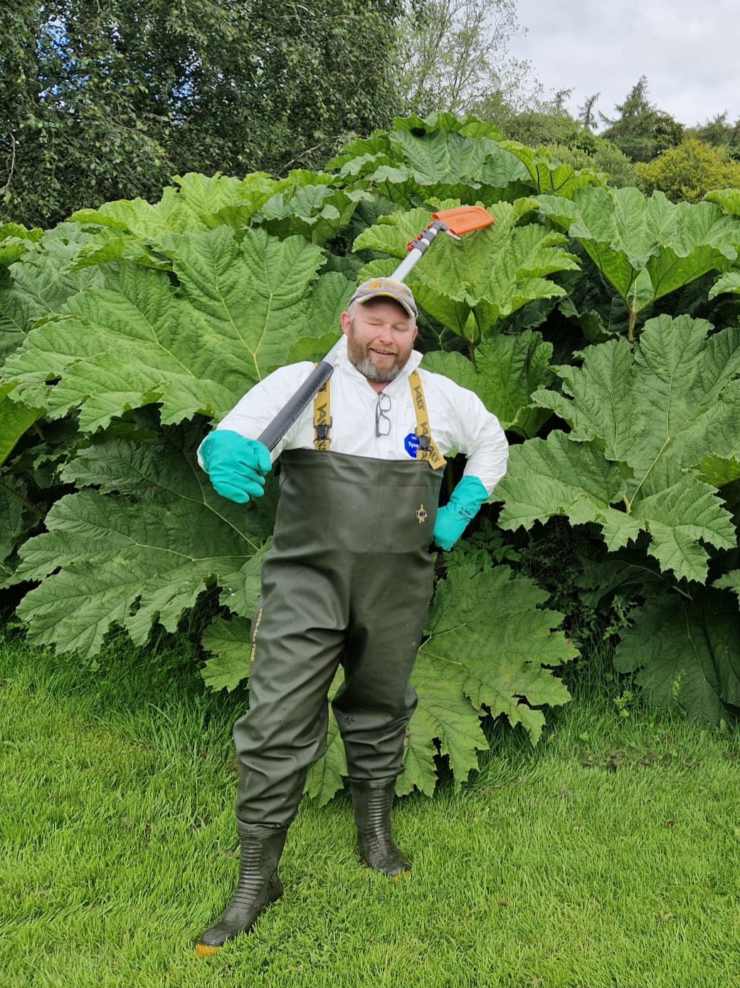
The very distinct landscape is made up of some of the oldest rocks in the world and is famous for its geology. There are two National Scenic Areas (NSA) including Assynt-Coigach and North West Sutherland – two of only 40 NSAs in Scotland, designated for their exceptional scenery. There are many other designated sites in the area including Handa Island, Foinaven, Cape Wrath and the Assynt Lochs. At present the environment is relatively unspoilt with few invasive non native species.
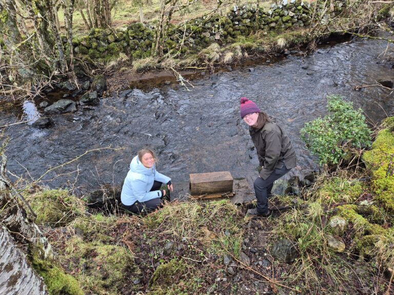
In the Scottish Invasive Species Initiative the district is covered by our project partner – the West Sutherland Fisheries Trust. All project activities are co-ordinated by the Trust.