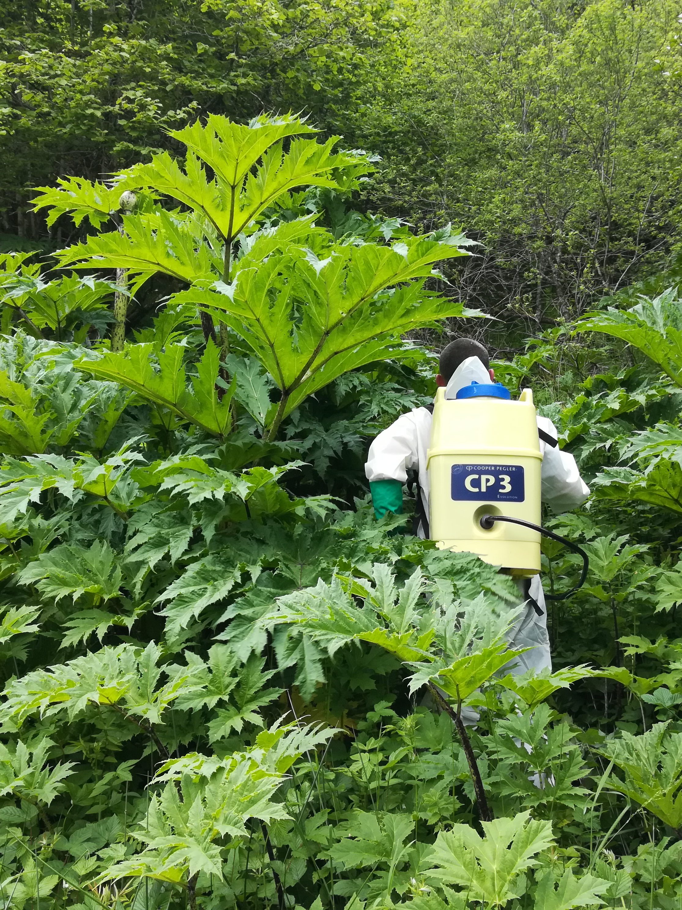
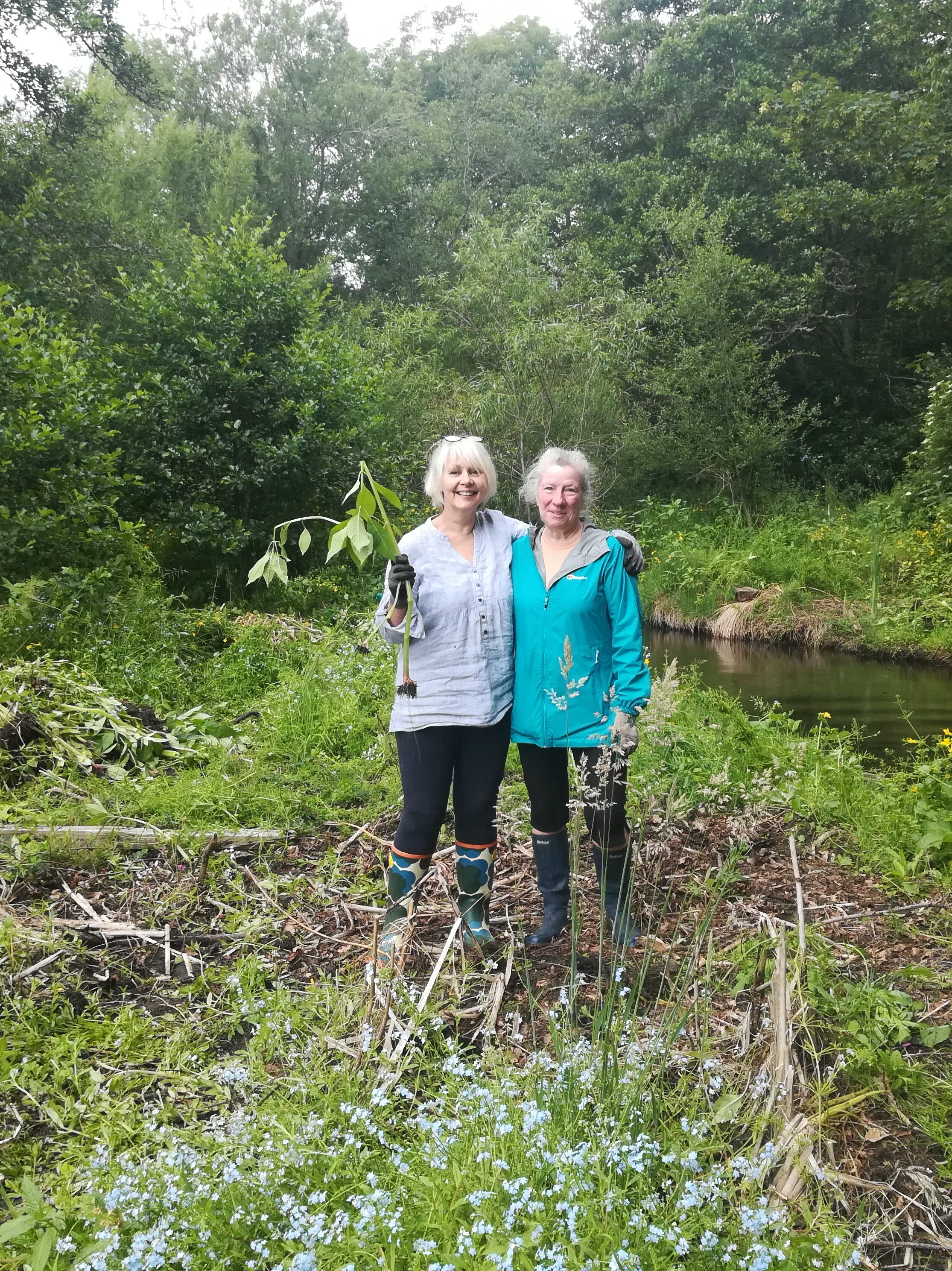
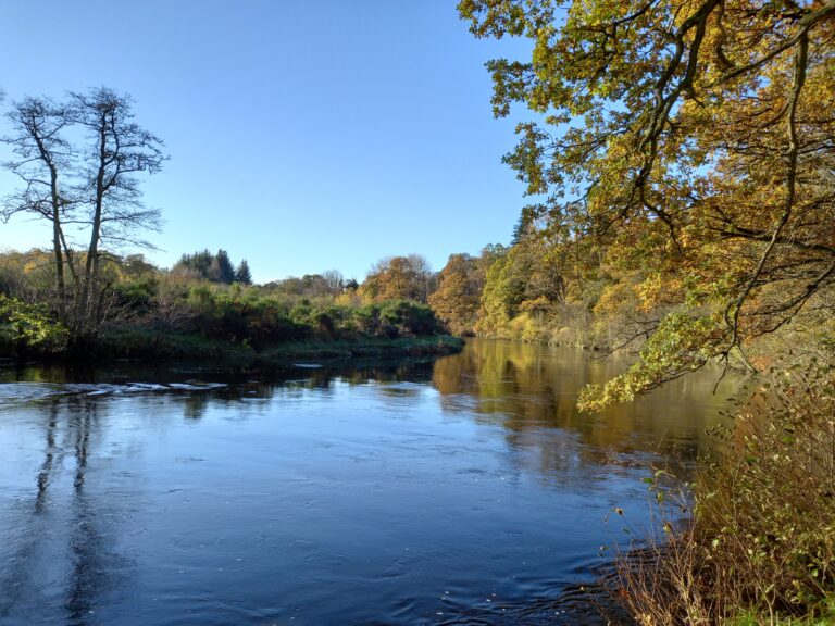
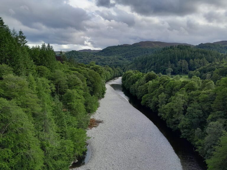
The River Tay

The Tay is Scotland’s largest and longest river, flowing 188 km (117 miles) from it’s source in western Scotland on the slopes of Ben Lui to the North Sea at Dundee. The catchment covers a huge area of approximately 4,970 square km (1,920 square miles).

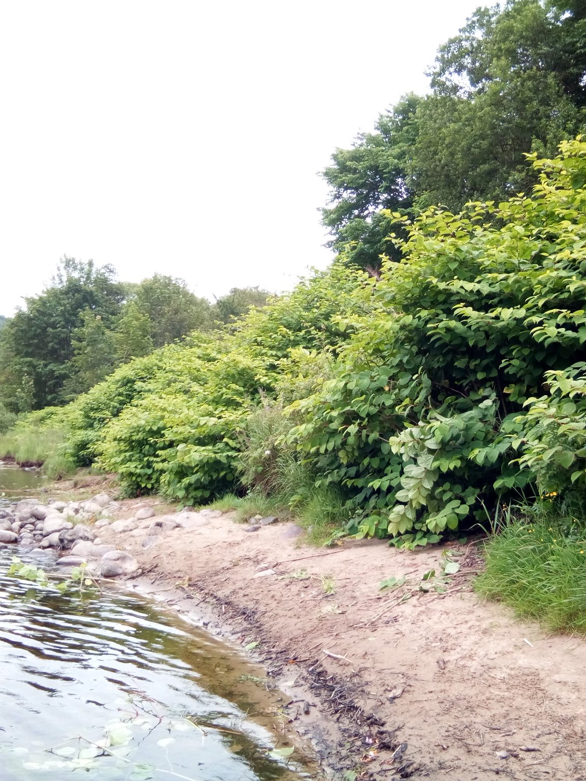
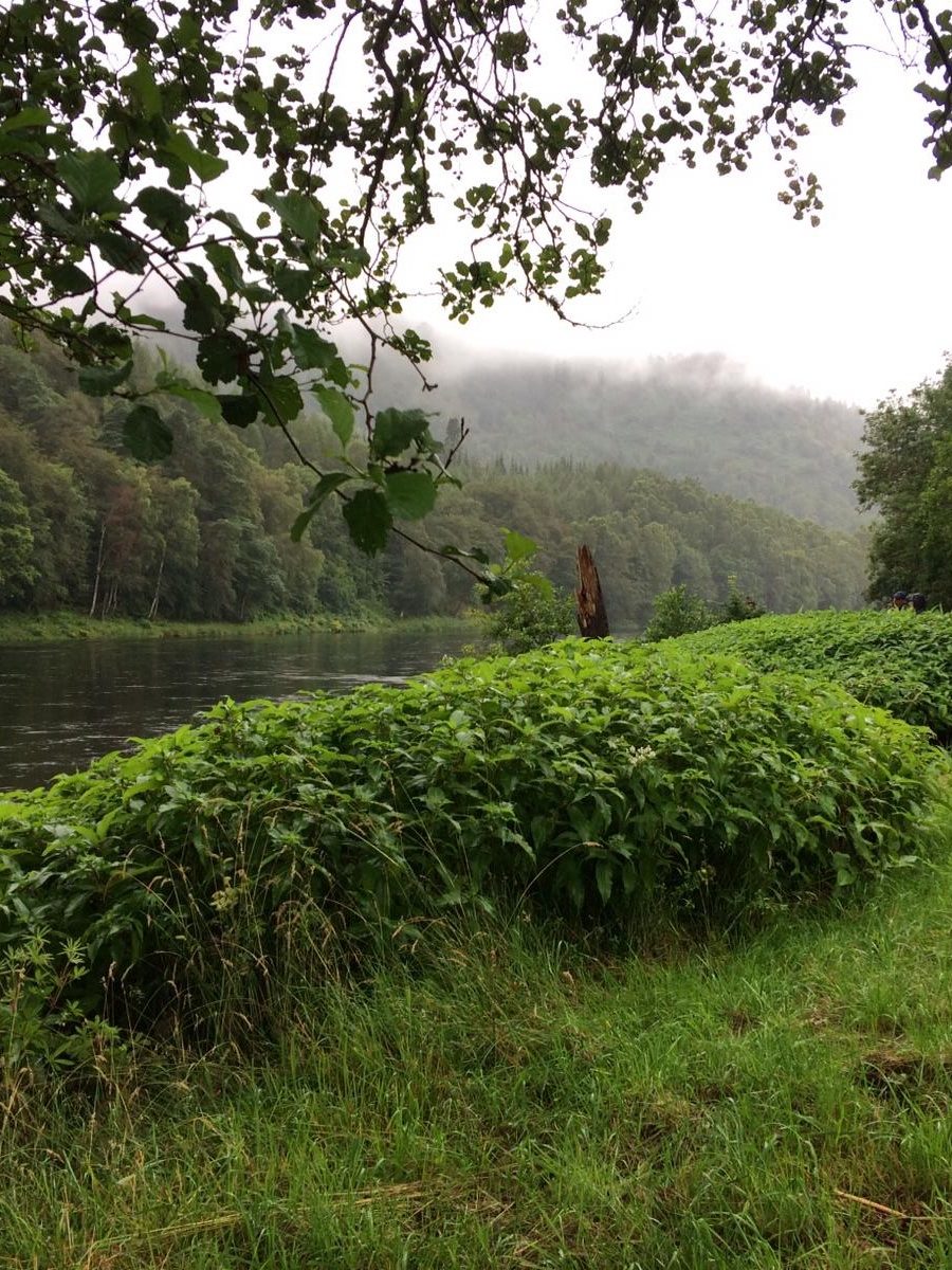
The Tay drains much of the lower region of the highlands from Ben Lui and Black Mount in the west, to the southern Cairngorms and the Angus Hills in the north east. It has large tributaries radiating out from the mainstem, some of which are considerable rivers in their own right, including the Tummel, Ericht, Isla, Almond and Earn. A few of these tributaries pass through some of Scotland’s biggest and most famous lochs, including Loch Tay, Loch Tummel and Loch Rannoch. Below Perth the river becomes tidal and enters the Firth of Tay, eventually meeting the North Sea at Dundee.

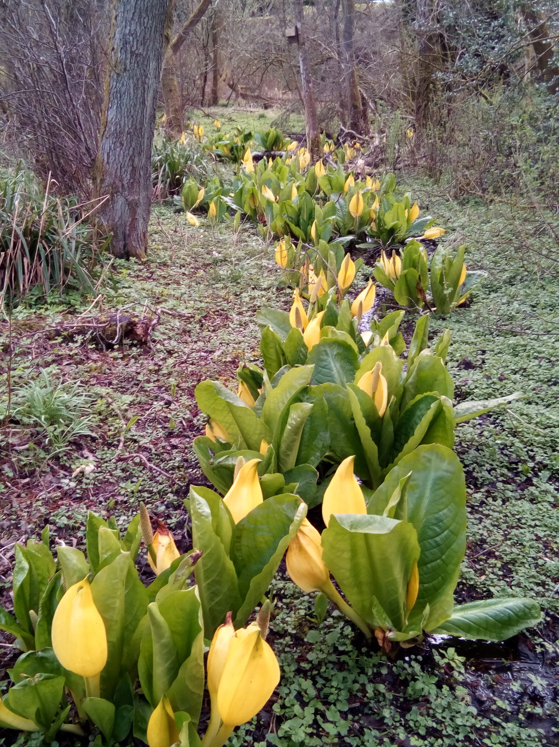
The River is internationally renowned for its salmon fishing and is also of high biodiversity value, designated both as a Site of Special Scientific Interest (SSSI) and a Special Area of Conservation (SAC). There are also three areas in the catchment (Loch Tummel, the River Tay at Dunkeld and the River Earn from Comrie to St Fillans) which are designated National Scenic Areas (NSA).

Our project partner for the Tay catchment is Tay District Salmon Fisheries Board.

Our Activities

All our target species are present in the Tay catchment. Click the expandable sections to find out more about our plant control activities; information on American mink is listed below.

Giant hogweed is one of the main species we are controlling on the River Tay, working in collaboration with volunteers, community groups, land owners and land managers.

The upstream source is at Dull, near Aberfeldy, where our work begins. Currently we control infestations on: the main stem of the Tay from Dull to Luncarty; the River Almond from Buchanty to the confluence with the Tay; and minor outbreaks on burns around Alyth town (Isla tributary). 

Our downstream limit is the confluence of the River Almond and the River Tay with no work currently taking place below this point.

There are extensive outbreaks of Japanese knotweed in the Tay system. We control this species in collaboration with volunteers, community groups, land owners and land managers.

The upstream sources are at Loch Tay and Loch Rannoch. Control works cover the Tay, Tummel, Ericht, Isla and Almond, with our current downstream limit at Stanley. We do not currently cover the River Earn or downstream of Stanley on the Tay.

American skunk cabbage is present in scattered locations in the Tay catchment. It is an emerging problem and has not yet spread extensively along rivers banks but infestations can be found in patches. Sightings from members of the public have been especially valuable for this species and have identified many of our control sites.

We are controlling notable infestations in Pitlochry, Kirkmichael, Aberfeldy, on the Tummel shingle islands and along the River Almond. As it is a relatively limited problem the majority of this work is undertaken by land managers and the project team.

Himalayan knotweed is a localised problem between Dunkeld and Stormontfield. We believe we have contained and controlled the full extent of the infestation and are near eradication from the River Tay. Please notify us if you see this species present anywhere in Tayside.

Himalayan balsam is an extensive problem and widespread throughout the Tay system. We are targeting select upstream locations in collaboration with local communities, including in Pitlochry and Blairgowrie. We are also exploring alternative control methods.

American mink

The Tay catchment is the most southerly area in our mink control project. We cover all major tributaries, with the River Earn and the northern bank of the Tay Estuary as our southern border. To the West, we cover as far as Loch Earnhead, Killin and Bridge of Guar.

Currently (spring 2025) we have 77 active mink rafts and traps in the Tay system with a network of 46 dedicated volunteers monitoring these.

This is a key boundary area for the project, catching mink as they move in from the south and the west where populations are not controlled. The Tay network therefore captures high numbers of mink annually, sometimes up to 40% of total project captures.

Meet your local Project Officer

Mark has been with the project since it began in 2018, initially covering both the Tay and the Esks catchments. In Phase 2 of the project (2023-2026) he moved over to the Tay catchment full time. Mark co-ordinates plant control activities and oversees the mink trapping network. 

If you are a landowner, land manager, community group or local organisation in the River Tay catchment and would like to get involved in the project, please get in touch.

Tel: 07741639556
markpc.sisi@gmail.com


Volunteering Opportunities

Find out more about volunteering in Tayside. You can also visit our Volunteer Opportunities page for further details on these activities.

Sign up now

If you are interested in volunteering in the River Tay catchment please complete the online registration form. Your local contact will then be in touch.