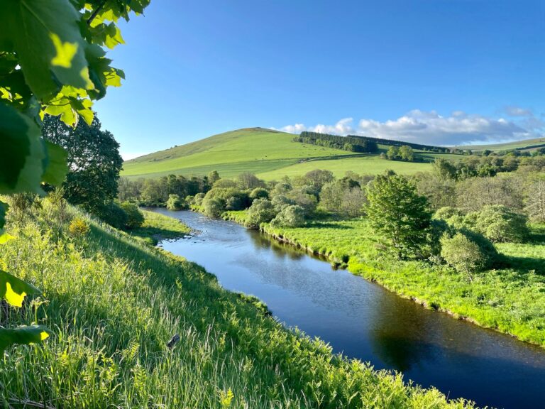
The Rivers

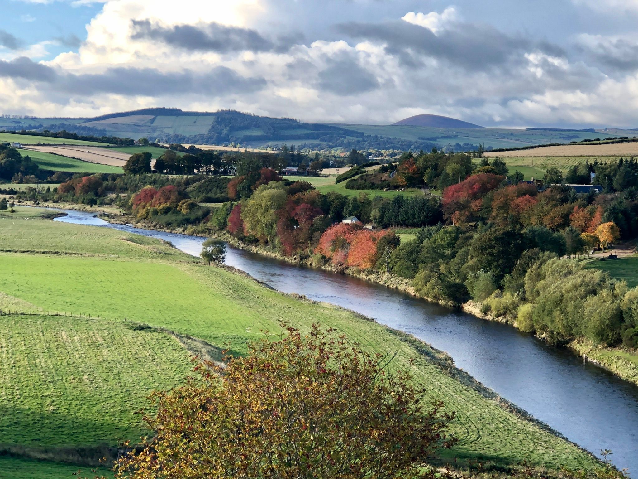
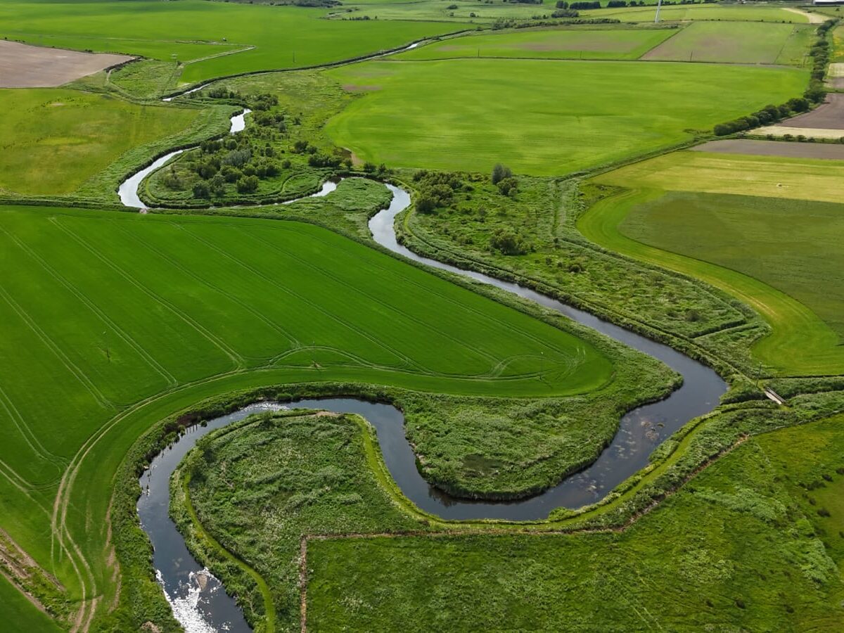
The Deveron, Ythan and Ugie Rivers are situated in Aberdeenshire and Banffshire, the most north easterly point in our project area. The region includes a extensive coastline; as well as the three larger catchments there are many coastal burns and the Water of Cruden which fall within this jurisdiction.

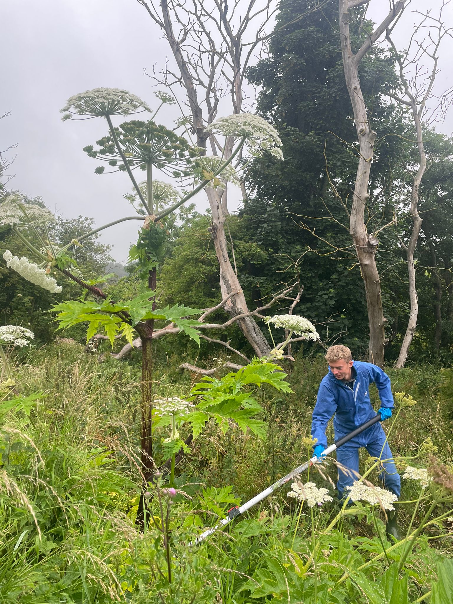
In the Scottish Invasive Species Initiative these catchments are covered by two Project Officers and our project partner – The Deveron, Bogie & Isla Rivers Charitable Trust. The Trust has been tackling invasive species in the River Deveron catchment since 2003, many years before the Initiative began.

Across these catchments there are several designated protected areas, many of which are on the coastline. These include the Ythan Estuary (Site of Special Scientific Interest, Special Protection Area, Ramsar Site); Loch of Strathbeg (SSSI, SPA, Ramsar Site) and the Gamrie and Pennan Coast (SSSI and SPA).

The Deveron, Ythan and Ugie Rivers

River Deveron

The River Deveron flows 96 kms (61 miles) from it's source in the Ladder Hills, in the Grampian Mountains, through north east Scotland. It's key tributaries include the River Isla and the River Bogie. The Deveron passes through Huntly and Turriff, following a meandering course north east before eventually meeting the North Sea between Banff and Macduff. It has an overall catchment area of 1266 km² (488 square miles).

River Ugie

The River Ugie is formed when two streams, the North Ugie Water and the South Ugie Water, meet near Longside in Aberdeenshire. These tributaries are fed by many burns with the North Ugie rising near New Aberdour and passing through Strichen, while the South Ugie rises near Bonnykelly and passes through Maud and Mintlaw. From here the river flows east to Peterhead where it meets the North Sea. The total catchment area is approximately 325 km² (125 square miles).

River Ythan

The River Ythan rises at the Wells of Ythan, by Ythanwells village in Aberdeenshire, and flows 63 km (39 miles) east through the towns of Fyvie, Methlick, and Ellon, before meeting the North Sea at the Ythan Estuary near Newburgh. There are three main tributaries: the Fordoun Burn, the Little Water and the Ebrie Burn. The catchment area covers approximately 690 km² (266 square miles) and the majority of this is agricultural land.

Our Activities

Click the expandable sections to find out more about our plant control activities; information on American mink is listed below.

Giant hogweed is controlled from source-to-sea in all three catchments, in collaboration with land owners, land managers and volunteers.

Giant hogweed is prevalent across the Deveron catchment. The majority of the work on main stem of the Deveron is completed by land managers, with our project team and volunteers covering tributaries (including the Isla and Bogie). Our work begins at the upstream sources (Aswanley on the Deveron; near Rhynie on the Water of Bogie; near Drummuir on the Isla) and continues downstream to Banff and Macduff on the coast.

On the River Ythan infestations are concentrated on burns around the Fyvie area and have not yet spread extensively downstream. The source is a few kms upstream of the village. There is a separate and extensive infestation on the Tarty Burn.

The upstream source on the River Ugie is on the South Ugie Water, near Maud, with the worst affected areas on burns around Stuartfield. Downstream of Stuartfield infestations are minimal, until Inverugie in the lower catchment where there are further outbreaks.

The majority of Himalayan balsam control takes place on the River Ugie, River Ythan and Water of Cruden; these catchments present a rare opportunity to tackle the plant before it becomes a serious problem. We control this species in collaboration with volunteers, community groups, land owners and land managers.

On the River Ythan the problem begins at the Burn of Stonehouse – control work is taking place from here down to Methlick where the infestation has spread. There is also an outbreak from Ellon, spreading downstream. Ellon is our current downstream limit. A separate infestation on the Foveran Burn is tackled with volunteers from Forvie NNR.

On the River Ugie we are tackling the upstream sources around Strichen on the North Ugie Water and Longside on the South Ugie Water. On the Water of Cruden we are targeting outbreaks around Hatton, the upstream source.

(Himalayan balsam infestations are extensive and widespread throughout the River Deveron catchment but our control work is currently limited in this catchment.)

Japanese knotweed is present in the Deveron, Ythan and Ugie Rivers with various sources throughout the catchments. It is an emerging problem and has not yet spread extensively along riverbanks but infestations can be found in minor patches. The Water of Cruden, a small river between the Ugie and Ythan catchments, has the worst knotweed infestation in this area.

As Japanese knotweed is a relatively limited problem the majority of control work is undertaken by the project team and land managers.

American skunk cabbage is a minimal and localised problem in the Deveron and Ythan catchments. We believe we are controlling the full extent of the problem. Please notify us if you see this species present anywhere in the area – sightings are crucial to prevent early infestations from spreading.

American mink

The Deveron, Ythan and Ugie catchments are located in the north east corner of our project area and mostly consistent of lowland habitat and coastal areas. We aim to cover rivers, tributaries and the extensive coastline.

Currently (spring 2025) we have 76 active mink rafts and traps monitored by a network of 54 dedicated volunteers, with a few additional traps covered by the local project team.

This region is in the centre of the project area and bordered on all sides by areas with active mink control. Following years of control work, including mink control projects prior to the Scottish Invasive Species Initiative, we believe populations have been depleted in this area. Since 2021 only 10-16 animals have been caught each year across the three catchments.

Meet the Team

Robert and Lewis work closely together to cover the Deveron, Ythan and Ugie Rivers. Please get in touch if you are a landowner, land manager, community group or local organisation in the area and would like to get involved with the project.

Lewis Barr

Project Officer (River Deveron)

Lewis covers the Deveron catchment, co-ordinating the plant control project and overseeing the mink network across the Deveron, Bogie and Isla Rivers and associated tributaries. He first started with the project in 2024.


Robert Paylor

Project Officer (Rivers Ythan & Ugie)

Robert covers the River Ythan, the River Ugie and the Water of Cruden in north Aberdeenshire. He co-ordinates the plant control project for both catchments and oversees the mink network in this area. He first started with the project in 2024.

Volunteering Opportunities

Find out more about volunteering opportunities available in the Deveron, Ythan and Ugie River catchments. You can also visit our Volunteering page to find out about opportunities available across the project and for further details on these activities.

Sign up to volunteer

If you are interested in volunteering please complete the online registration form. Your local contact will then be in touch.